The Capricorn Highway enters the locality from the east (Gogango) and exits to the south-west (Duaringa).[5]
The Central Western railway line enters the locality from the east (Gogango) and exits to the west (Duaringa),[5] with the locality being served by three railway stations (from west to east):
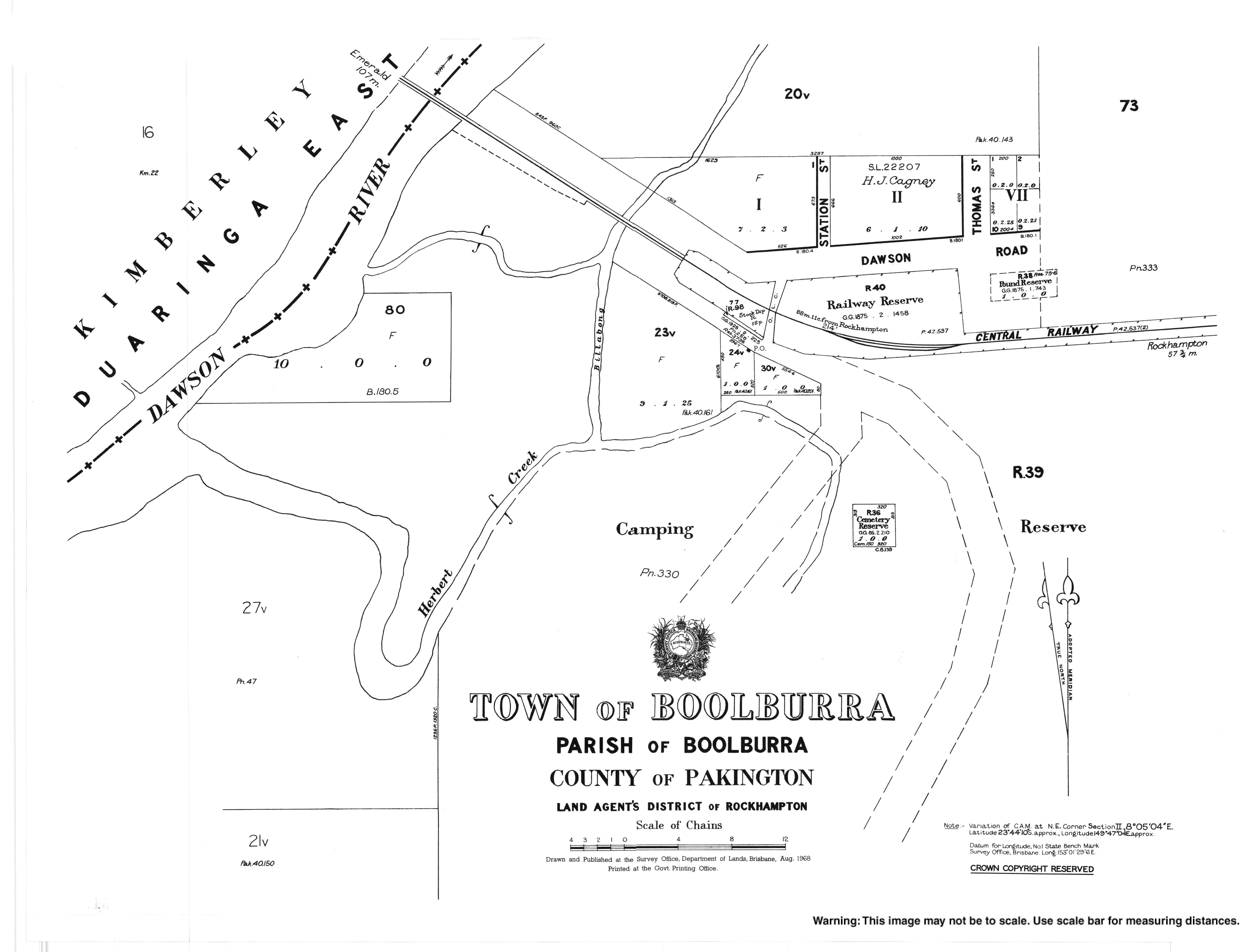
The town of Boolburra was laid out immediately north of the Boolburra railway station, but there are no buildings today.[9][10]
The town of Edungalba was laid out immediately south of the Edungalba railway station, but there are only a few buildings today.[9][10]
There is some crop growing in the west of the locality along the Dawson River, but the land use is predominantly grazing on native vegetation.[10]
History
Boolburra Provisional School opened on 31 August 1874.[11] In 1883, a school reserve of 6acres 1rood 10perches (2.55ha) was proclaimed, just north of the Boolburra railway station bounded by Station Road, Dawson Road, and Thomas Street (23°44′06″S149°47′00″E / 23.73487°S 149.78337°E / -23.73487; 149.78337 (Boolburra State School (former))).[12][13][14] Patrick Aloysius Murtagh was school master at the school for 30 years from circa 1883 to circa 1913.[15] He also conducted a 160-acre (65ha) agricultural farm named Gainsford at the same time.[16] On 1 January 1909, the school became Boolburra State School. It closed on 22 April 1926.[11]
↑"PERSONAL NEWS". Morning Bulletin. No.18, 381. Queensland, Australia. 17 December 1923. p.7. Archived from the original on 25 April 2024. Retrieved 21 April 2024– via National Library of Australia.
↑"Advertising". Morning Bulletin. Vol.XLII, no.8224. Queensland, Australia. 28 December 1889. p.1. Archived from the original on 25 April 2024. Retrieved 21 April 2024– via National Library of Australia.


